

Hawaiian Islands, Hawaii, Borch Map
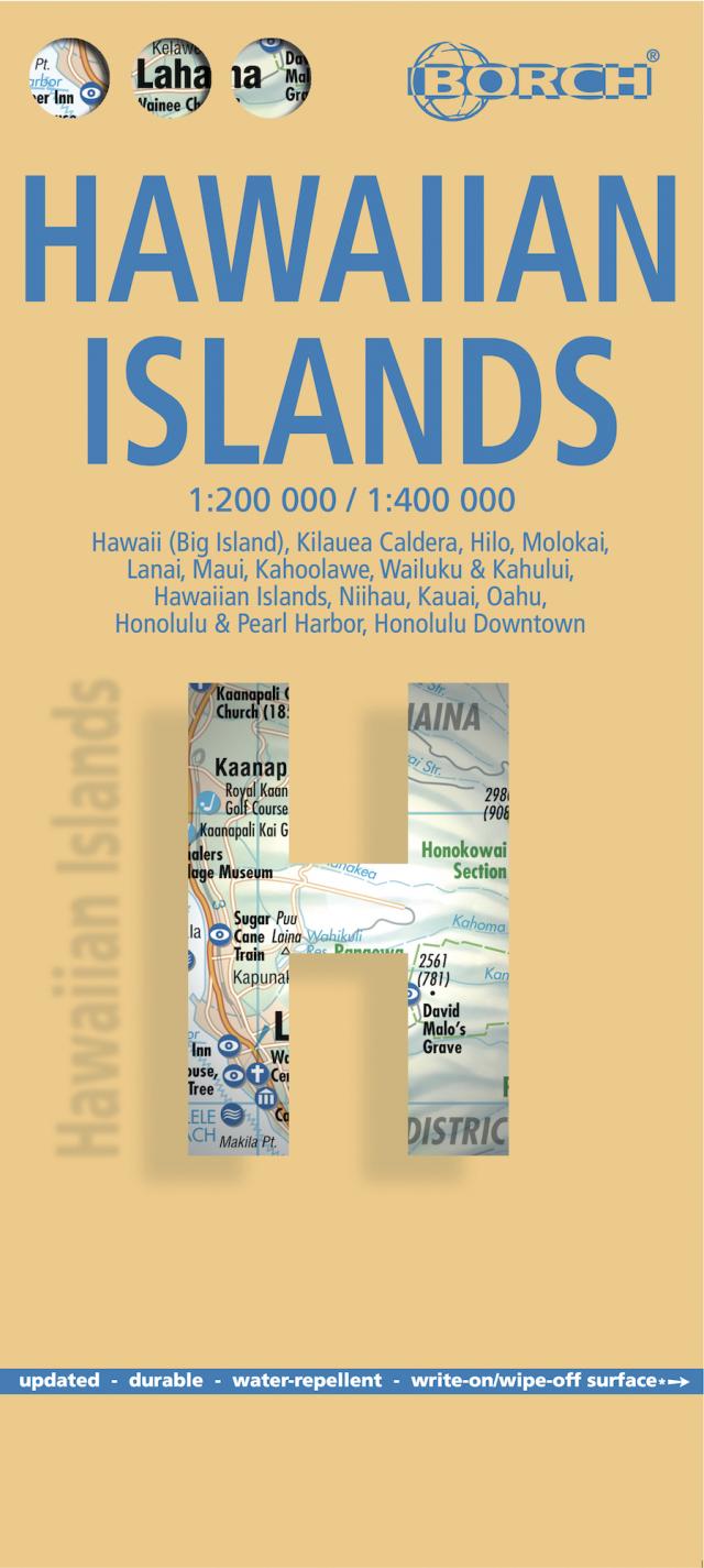
Hawaii (Big Island), Kilauea Caldera, Hilo, Molokai, Lanai, Maui, Kahoolawe, Wailuku & Kahului, Hawaiian Islands, Niihau, Kauai, Oahu, Honolulu & Pearl Harbor, Honolulu Downtown
2 Seiten; 24.3 cm x 11 cm
Sprache English ,Francais ,Deutsch,Italiano ,Espanol
19. Auflage
2024 Borch
ISBN 978-3-86609-320-1
Hauptbeschreibung
Our laminated and folded Borch Map of Hawaii in the 19th edition contains: Hawaii (Big Island) 1:400 000, Kilauea Caldera 1:150 000, Hilo 1:70 000, Maui, Molokai / Lanai / Kahoolawe 1:200 000, Wailuku & Kahului 1:35 000, Hawaiian Islands 1:4 000 000, Niihau 1:400 000, Kauai / Oahu 1:200 000, Honolulu & Pearl Harbour 1:26 000, Honolulu Downtown 1:15 500 and an administrative map of the USA with time zones. Borch Maps contain a multitude of interesting and useful information, highly detailed and user-friendly cartography, but also statistics, conversion tables, climate data and numerous detail maps, making a Borch Map an excellent travel companion. Map format (open): 990 x 685 mm.